CAPABILITIES

What we do.

Deep Subject Matter Expertise

At GeoSol, we thrive on answering the tough questions.

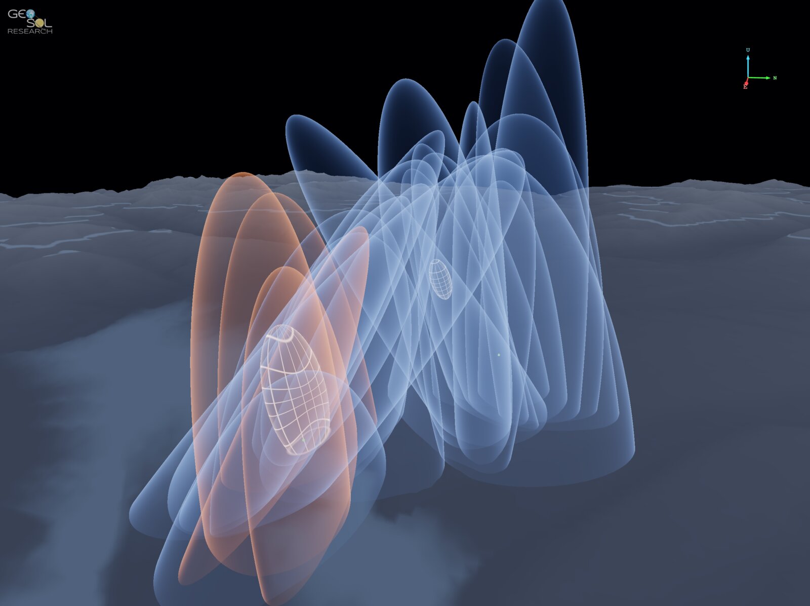
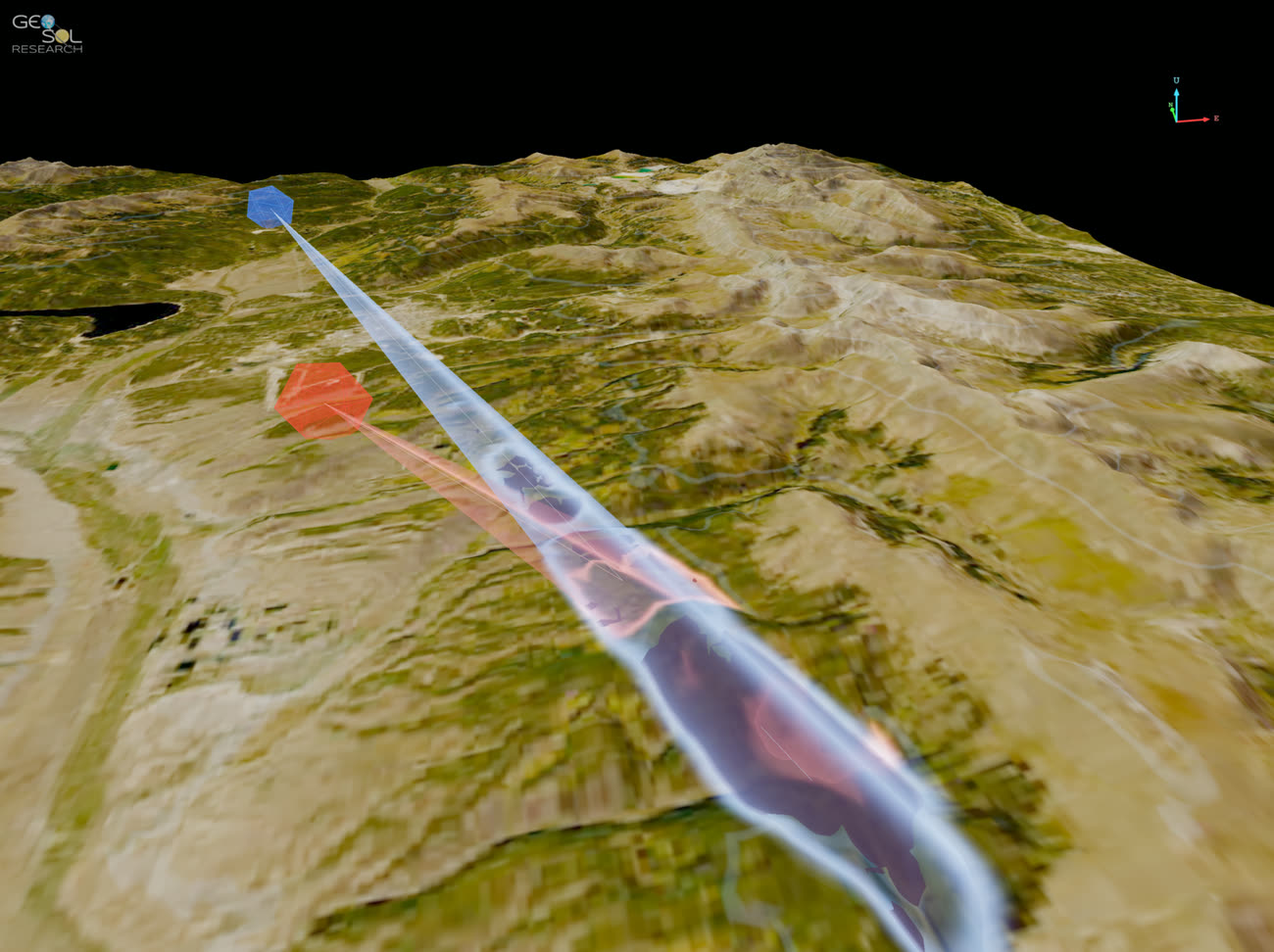
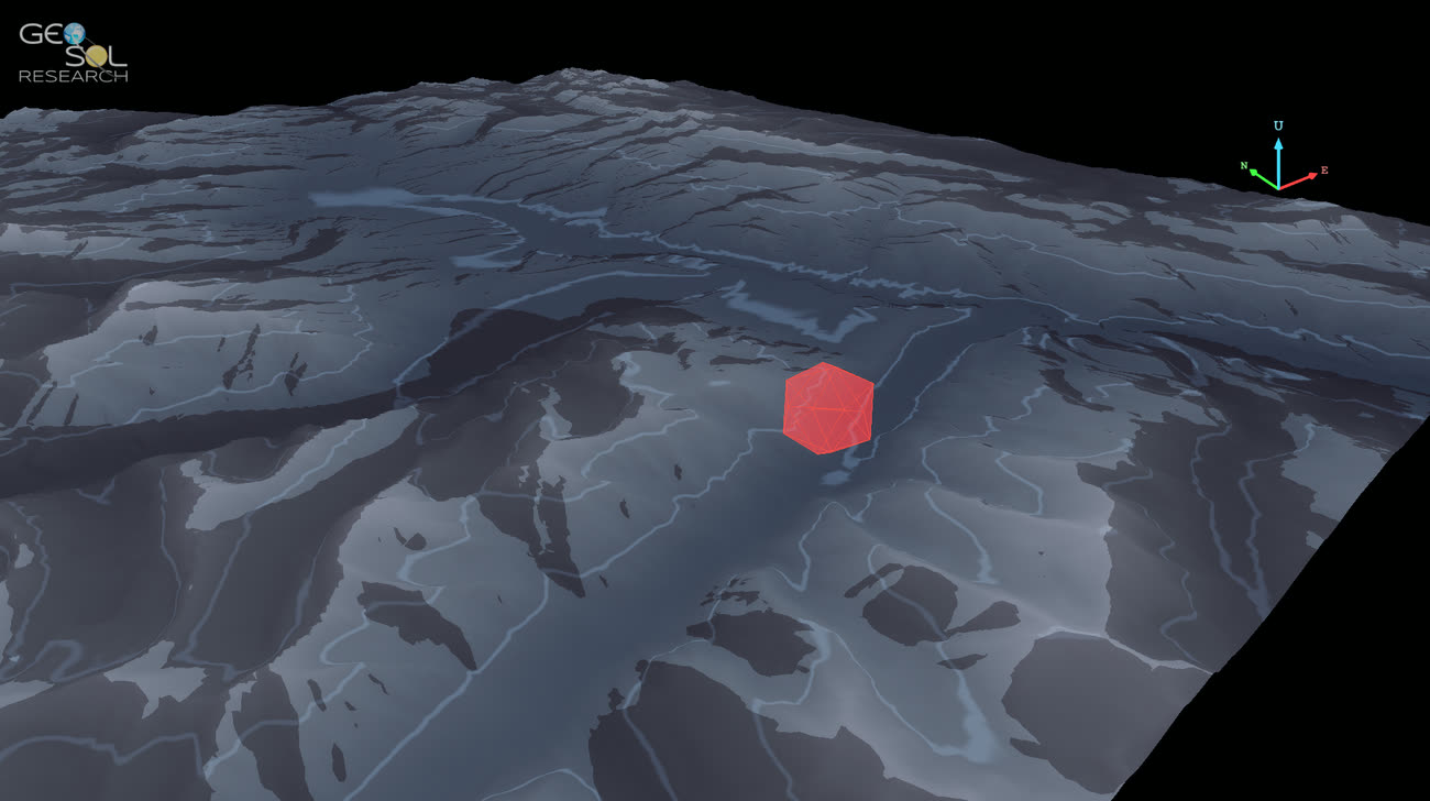
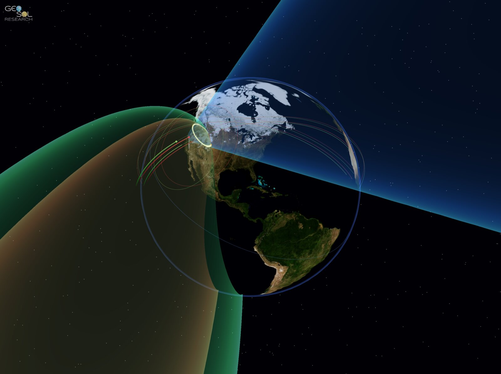
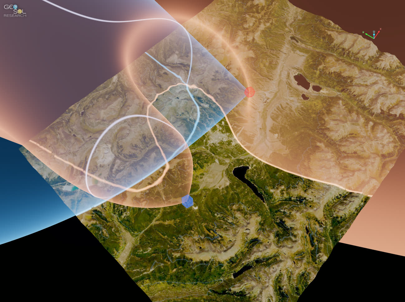
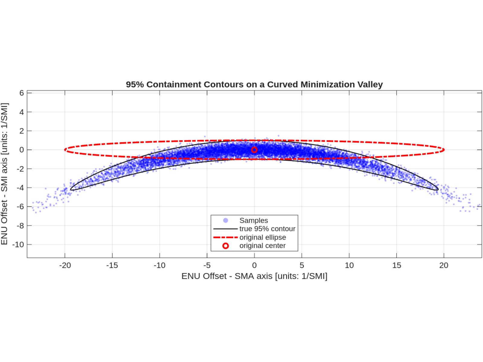
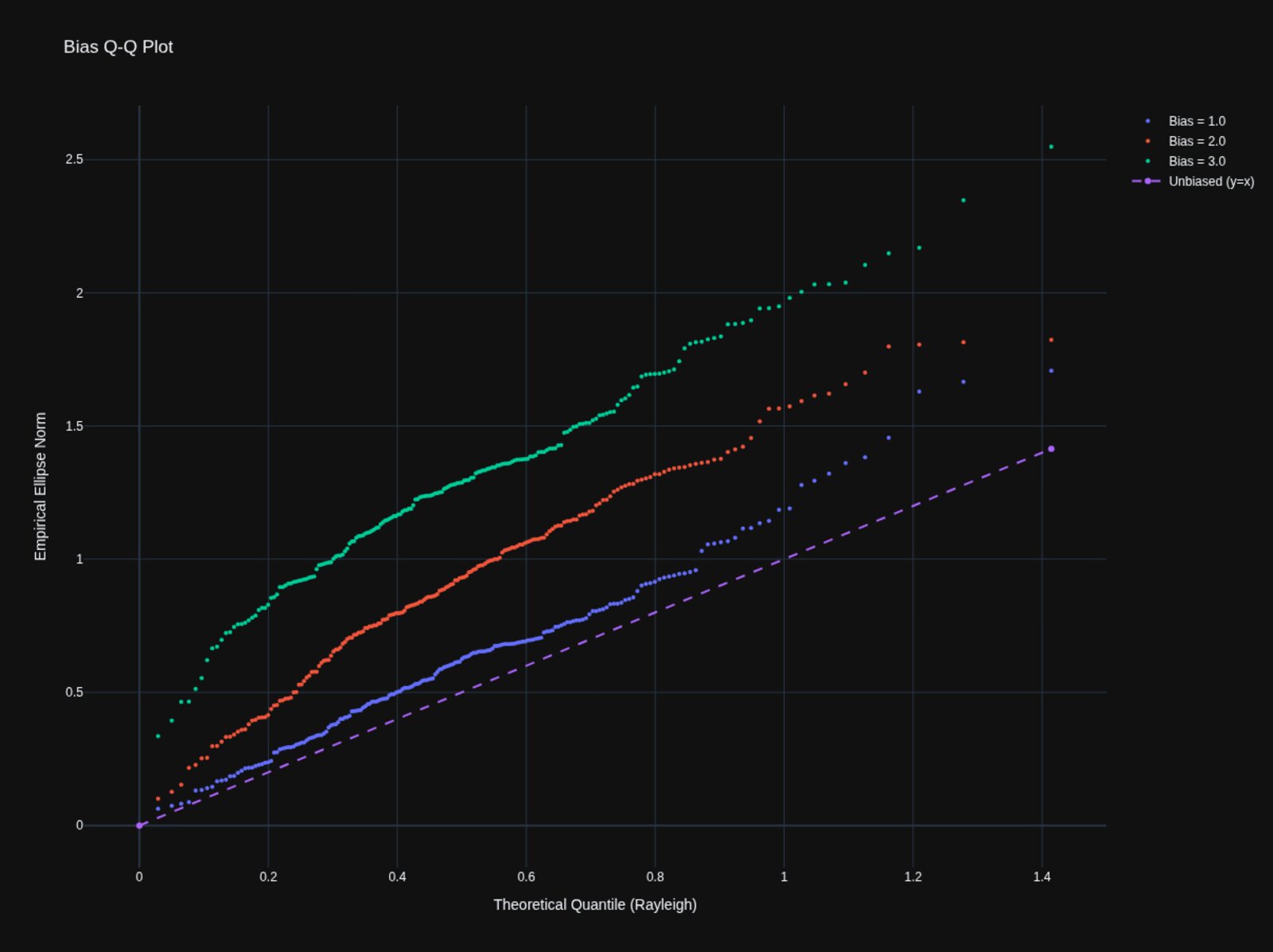
Geolocation systems operate across a wide range of environments, signal types, geometries, and real-world collection constraints. Our subject matter experts use advanced modeling and analysis tools to predict mission outcomes under diverse conditions, delivering critical insights for feasibility assessments, mission planning, system optimization, and forensic investigations.

From early-stage concept evaluation to explaining unexpected results in the field, GeoSol helps customers understand what happened — and what’s possible.

  • Feasibility assessment
  • Mission planning
  • System optimization
  • Forensic analysis

RF Propagation Effects on Geolocation

At GeoSol, our knowledge of complex RF propagation effects runs deep.

We understand not only the foundational physics of RF propagation, but also the natural phenomena — such as tropospheric and ionospheric refraction, terrain masking, multipath propagation, and even relativistic effects — that make or break geolocation.

Signal propagation effects that are poorly modeled in time, frequency, and angle of arrival can wreak havoc on precision geolocation systems, ruining locational accuracy and ellipse containment.

GeoSol subject matter experts are well-versed in standard correction models and have developed custom solutions tailored to mission needs. With decades of experience, we specialize in fast, efficient algorithms that compensate for the constantly-shifting environment — and in-depth analysis of how these effects influence real-world system performance.

  • Tropo / iono refraction
  • Multipath
  • Terrain masking
  • Relativistic corrections

Simulation and Modeling

We predict what’s going to happen before collections occur or collection systems are even fielded.

Our deep subject matter expertise and understanding of RF propagation effects allow us to construct high-fidelity simulation environments and analyze complex simulated datasets.

We go far beyond basic link budgets: we model specific radar and communications waveforms, emitter scan and radiation patterns, environmental effects such as terrain, multipath, and ray bending, collector planning strategies, and full 3+3 DOF position and orientation of all platforms.

Our simulations deliver data in industry-standard formats compatible with SIGINT processors, along with detailed ground-truth to support robust post-processing and analysis.

  • Waveform-level emitters
  • Scan / radiation patterns
  • Full 6-DOF platforms
  • SIGINT-compatible output

Geolocation Statistics, Communicated

GeoSol is an industry-recognized team of experts and thought leaders in the field of geolocation data quality metrics.

Quality metrics sit at the center of most operational debates. Abstract confidences, inconsistent pass/fail rules, and aggregate numbers that bury real-world behaviors make true system performance difficult to know. That gap creates friction between technical and operational communities.

Our team speaks both the languages of theoreticians and battle-hardened operational decision makers. We use the standard measures like miss-distance, containment, and SMA, and have also pioneered metrics like ASF (average scale factor) and drag-on-containment revealing the system behavior that common metrics obscure.

GeoSol is committed to making the true performance of geolocation systems transparent. This fosters more cooperation between diverse parties in the community, enables better efficiency in development cycles, and ultimately drives greater accuracy of fielded SIGINT systems.

  • Miss-distance / SMA
  • ASF (average scale factor)
  • Drag-on-containment
  • Operational comms

Bias Removal and Calibration

At GeoSol, we find the hidden offsets that quietly drag geolocation accuracy down.

Real-world collectors, clocks, and signal paths rarely match their idealized models. Timing biases, calibration errors, propagation artifacts, and platform state inaccuracies accumulate into systematic offsets that inflate error ellipses, pull fused positions off-truth, and erode containment.

GeoSol identifies and characterizes these biases end-to-end: from controlled test data through operational collections. We design calibration pipelines, bias estimators, and diagnostic metrics that isolate error sources so systems can be corrected in-place or compensated in post-processing.

The result: tighter uncertainty regions, residual errors that align with reported covariances, and ultimately, geolocation reports that users can trust.

  • Timing-bias estimation
  • Calibration pipelines
  • Platform-state correction
  • Diagnostic metrics

Research and Development

At GeoSol, it’s in our name; it’s what we do.

With our decades of expertise, vast understanding of geolocation phenomena, and deep pool of talent, we don’t just see what can be fixed — more importantly, we see what can be achieved.

Whether on an officially-funded CRAD contract, or private IRAD, or level-of-effort on an existing contract, we are constantly researching and developing new technologies in pursuit of superior mission performance.

In fact, members within GeoSol have eponymously-named tropo and iono models in use in operational SIGINT systems today that came out of the research done to improve signal propagation models.

It’s in our DNA to pursue mission-relevant R&D, and we publish at national-level conferences, to advance the state-of-the-art across the enterprise.

  • Tropo / iono models
  • Novel algorithms
  • Published research
  • Operational deployment
OPEN SOURCE

Active in the open-source community.

GeoSol Research sponsors a growing ecosystem of MIT-licensed Python libraries on PyPI — coordinate math, signal processing, observation types, atmospheric models, terrain, simulation. Working in the open sharpens our expertise and multiplies capability for the customers and missions we serve.

CONTACT

Got a geolocation problem?

UEI  EZFQVLN3U518
CAGE  9NGG6
NAICS  541715